Summary: New maps quietly issued by Israeli authorities to humanitarian organizations show an enlarged restricted area inside Gaza, marked by an orange line. That orange line extends roughly 11% of Gaza’s territory beyond the Yellow Line that marked the limits of Israeli troop withdrawal under an October truce. Combined with the territory behind the Yellow Line, the newly defined areas place close to two-thirds of Gaza under Israeli control or operational restriction, aid workers and researchers say. The military describes the areas as necessary to enable safe aid delivery and says coordination with its forces is required; aid groups and civilians report confusion, limited relief access and concern about safety.
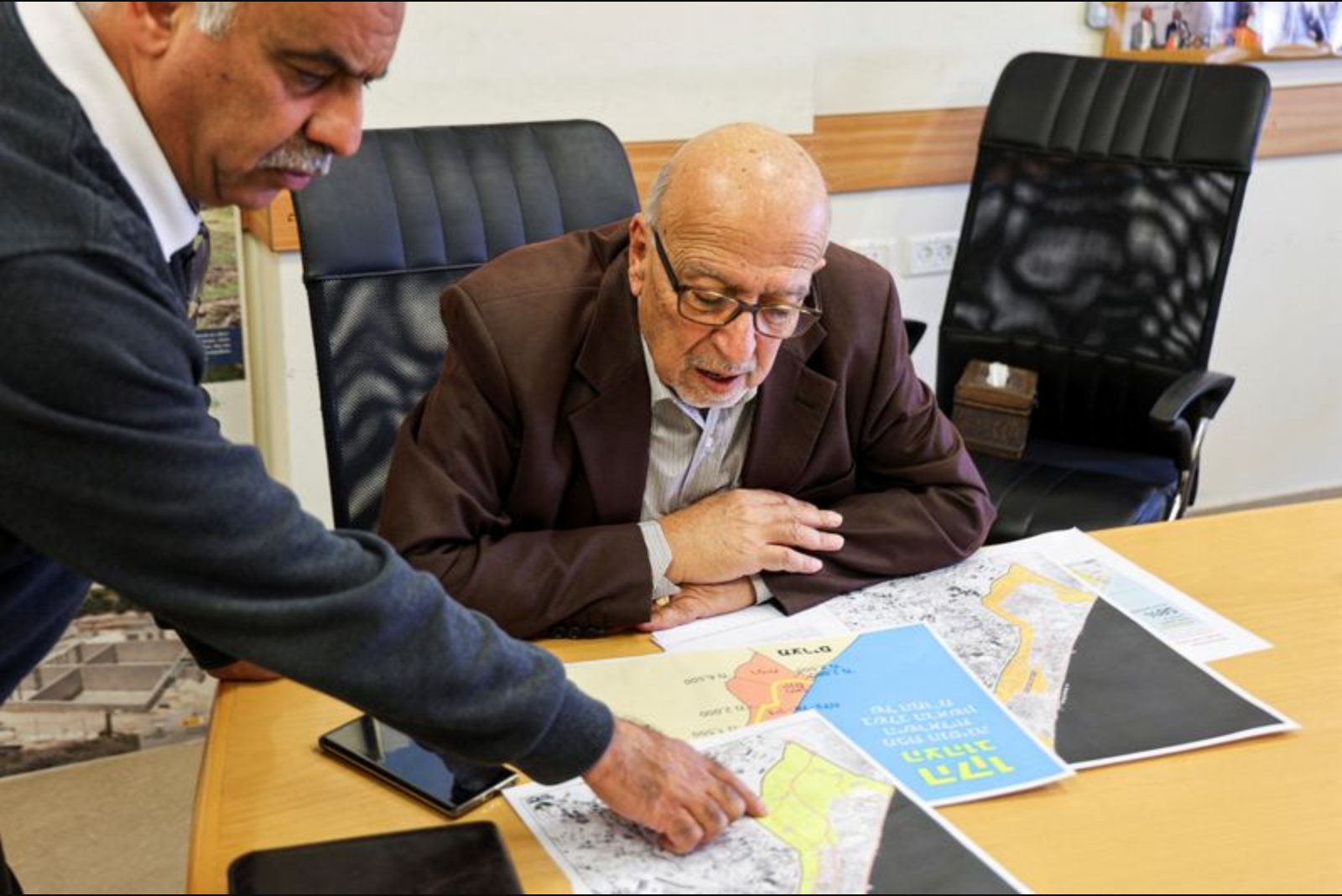
Mid-March circulation of updated maps to international and local aid organizations has drawn fresh scrutiny to how Israel is delineating operational control inside Gaza. Two Gaza-based aid sources who received the maps described a change in the area demarcated as restricted - an orange-line boundary added beyond the Yellow Line that had been marked after an October ceasefire.
The restricted zone defined by the orange line covers an estimated 11% of Gaza’s territory beyond the Yellow Line. When combined with the ground Israel says it holds behind the Yellow Line, the two lines together effectively cordon off nearly two-thirds of Gaza’s total area, according to assessments shared with reporters and independent Palestinian mapping experts who superimposed the boundaries.
Israel’s military agency that manages access to Gaza, COGAT, told aid organizations that the orange-line areas adjacent to the Yellow Line require humanitarian groups to coordinate movements with the military. COGAT said the boundaries of these areas are set and updated according to an operational situational assessment, and that the purpose is to permit humanitarian activity while safeguarding personnel in a complex operational environment.
COGAT declined to say how often maps showing the orange line are updated and distributed to aid groups, and it did not confirm whether civilians in Gaza had been informed of the location or changes to that line.
Aid workers receiving the maps said Israel first circulated an expanded-zone map after the October ceasefire; that map was publicly used by some groups but not released by the military. The mid-March version they received shows the yellow truce line and an orange line that marks a still larger restricted area.
Two aid sources who shared images of the maps with reporters said the Yellow Line had effectively been moved forward to include what had previously appeared to be the expanded zone, while the orange line now defines an even broader restricted boundary. The military did not respond to a question about whether the Yellow Line itself had been advanced, saying instead that the area adjacent to the Yellow Line is a sensitive and dangerous operational environment and that signs in place indicate it is forbidden to approach.
The military represents the areas it controls in Gaza, Syria and Lebanon as buffer zones intended to reduce the risk of militant attacks following the Hamas-led assault of October 7, 2023 that triggered the Gaza war. Israeli leaders have repeatedly described territory seized during the campaign as necessary to prevent future attacks; Prime Minister Benjamin Netanyahu said in a March 31 video statement that "in Gaza, more than half of the Strip’s territory" is under Israeli control.
For displaced people living in the area between the two lines, the practical consequences of the redefined boundaries are acute. Residents and local aid officials say humanitarian deliveries have been disrupted because organizations have been reluctant to send staff into the orange-lined area without military coordination. Rani Ashour, who lives in a displacement camp near Gaza City between the two lines, said basic services such as water and other aid have been scarce because humanitarian groups were hesitant to operate there. "People don’t know what is what, (the orange) line is here today, you sleep, and you wake up, and you find it has passed you," Ashour said, describing unpredictable shifts in the boundary.
Those on the ground also say the expanded zone has heightened fears that Palestinian civilians inside it could be treated as potential targets. Aid officials and analysts in Gaza told reporters that at least three Palestinians working with foreign aid organizations - two affiliated with UNICEF and one with the World Health Organization - have been killed by Israeli fire in the area between the two lines since mid-March. In each incident the military said it had identified threats near the Yellow Line and opened fire as a result. UNICEF and WHO had not immediately responded to questions about whether those workers had coordinated movements with Israeli forces.
Local medical personnel in Gaza report that since the ceasefire, Israeli fire has killed more than 800 Palestinians across Gaza, with many fatalities in the vicinity of the Yellow Line where displaced-persons camps and people sheltering in damaged buildings are concentrated. During the same period, four Israeli soldiers have been killed, according to locally compiled accounts and military statements.
Independent Palestinian researchers who were shown the map images overlaid the two boundaries on an existing map of Gaza and concluded that the new configuration leaves Israel in control of roughly 64% of the territory. Jad Isaac, director general of the Applied Research Institute-Jerusalem, said that placing the majority of Gaza’s nearly two million residents into a constricted area along the coast risks creating living conditions that lack both viability and sustainability. "They want to put as many Palestinians as possible in the smallest area in order to drive them out because of the absence of any viability or any sustainability in what’s left of Gaza," Isaac said.
Political signals from some Israeli officials have reinforced concerns among Palestinians that the expanded control may be intended to alter the area's demographic and political landscape. Ministers in the government have publicly urged Palestinians to leave Gaza, remarks that add to fears the territory’s remaining population could be pushed out. Meanwhile, behind the Yellow Line, Israel has cleared civilians from captured areas and demolished many remaining structures.
International plans for reconstruction of the territory behind the Yellow Line have already been drafted by outside states, according to local sources. The United States and the United Arab Emirates have prepared development plans for that area, though the military’s updated boundaries complicate how and where such plans could be implemented and who would be allowed to access affected zones.
Administrators of Palestinian non-governmental organizations say the shifting boundaries are causing operational confusion for both residents and aid providers. Amjad al-Shawa, head of the Palestinian NGOs Network in Gaza, described the practical difficulties created by moving control lines without advance notice. "Residents do not know where the lines begin or end. One day, the boundary is in one location, and the next day it shifts without warning," he said.
COGAT has framed the orange-line requirement for movement coordination as a measure to facilitate humanitarian activity while protecting staff, saying the line’s limits are set in response to changing operational conditions. Aid agencies and Gaza-based service providers say the need to coordinate with the military for access, combined with unclear or undisclosed updates to maps, has left civilians stranded and humanitarian convoys reluctant to enter certain areas.
The expanded maps also feed into a broader political debate: they have complicated implementation of a U.S.-brokered October ceasefire arrangement and cast doubt on the feasibility of externally proposed plans for Gaza’s future, which have been stalled at times over wider regional tensions and questions about disarming militant groups. The military’s ability to adjust operational boundaries without public announcement has widened the physical zone within which it can operate and potentially employ lethal force without marking the area on the ground.
At present, the Yellow Line in many locations was originally indicated on the ground by concrete blocks painted yellow; Reuters has previously reported that those blocks have sometimes been moved further into territory previously controlled by Hamas. COGAT emphasized that signs are posted in sensitive areas warning civilians not to approach, but whether civilians are consistently aware of or able to observe those signs was not addressed by the agency.
For displaced families in Gaza, the immediate effects are humanitarian and logistical: fewer staff willing to enter contested areas means reduced delivery of water, food, and medical services; uncertainty about shifting boundaries complicates internal movement and shelter decisions; and the specter of lethal force in the newly defined zone heightens civilian risk. For aid organizations, the operational requirement to coordinate movements with the military adds another layer of complexity to planning and security assessments.
In the absence of a public, consistently updated demarcation, residents and relief providers say unpredictable changes in the boundaries have become part of daily life. Officials and analysts reached by reporters emphasized the constrained space in which Gaza’s population now largely remains, and the difficulty of sustaining basic services and infrastructure under those circumstances.
Key points
- The military-distributed map adds an orange-line restricted zone approximately 11% beyond the Yellow Line, increasing the area under Israeli control or operational restriction to nearly two-thirds of Gaza.
- COGAT requires humanitarian organizations operating near the Yellow Line to coordinate movements with the military, citing personnel safety in a complex operational environment; frequency of map updates and civilian notification are unclear.
- Operational and humanitarian sectors are affected: aid delivery and logistics face restrictions and increased coordination burdens, while reconstruction and development plans for cleared territory may be complicated by changing boundaries.
Risks and uncertainties
- Safety risk to civilians and aid workers: at least three Palestinian aid workers have been killed in the area between the two lines since mid-March; the military says it fired after identifying threats near the Yellow Line.
- Humanitarian access uncertainty: shifting and partly undisclosed boundaries reduce aid organizations' willingness to operate in affected areas, limiting deliveries of water, medical care and other services.
- Political and planning uncertainty: changing control lines complicate implementation of external reconstruction plans and raise questions about the long-term status of territory behind the Yellow Line.
Tags: Gaza, Israel, Humanitarian, Maps, Aid