
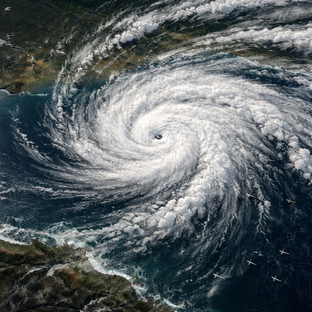
Tropical Storm Bertha was churning across the northeastern Gulf of Mexico on Tuesday as tropical-storm conditions spread into portions of the northern Gulf Coast, the National Hurricane Center reported. As of 7 p.m. CDT on Tuesday (0000 GMT on Wednesday), the storm was centered about 105 miles (170 km) south-southeast of Mobile, Alabama, with maximum sustained winds of 60 mph (95 kph) and moving west at 6 mph.
Officials with the hurricane center projected the storm to make landfall in Louisiana late Wednesday. A gradual weakening of Bertha was forecast for Wednesday through Friday. Tropical storm warnings extended from Florida’s Panhandle westward into coastal Louisiana and included metropolitan New Orleans and Lake Pontchartrain. The hurricane center also cautioned summer beachgoers about dangerous surf and rip currents along affected shorelines.
Energy companies operating in the Gulf took precautionary measures ahead of the storm. Chevron said it was shutting in production at its Petronius facility in the Gulf and moving all associated personnel onshore in preparation for the storm. The company also reported transporting nonessential personnel from its two other platforms.
Forecasters emphasized that the main hazard from Bertha was expected to be heavy rainfall leading to localized flooding. Forecast guidance called for several inches of rain across parts of the central Gulf Coast, from western Florida to southern Louisiana, through Thursday.
At the same time, a separate weather system was expected to produce numerous severe thunderstorms from the Ohio Valley into the Mid-Atlantic and Northeast states. The National Weather Service warned that these storms could bring swaths of damaging wind gusts and that some tornadoes could develop as the systems move eastward.
New York City had been placed under a tornado watch for Tuesday night, though that watch was later rescinded. The weather service noted that tornadoes remained possible in connection with severe storms within the Tennessee Valley and extending into the Mid-Atlantic.
The same storm system was forecast to deliver periods of heavy rainfall to parts of the Northeast, increasing the risk of flash flooding in areas already saturated by recent wet weather. Officials and forecasters urged residents and travelers in affected regions to monitor local advisories and to be prepared for storm-related impacts.
Context and near-term expectations
With Bertha located roughly 105 miles (170 km) south-southeast of Mobile and heading west at 6 mph, the window for further changes in the storm's track and intensity remains short. Forecasts call for landfall in Louisiana late Wednesday followed by gradual weakening through Friday. Coastal communities under tropical storm warnings should anticipate heavy rain, gusty winds, hazardous surf and rip currents.