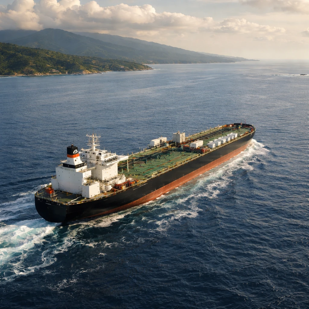
Maritime satellite imagery has identified an Iranian-flagged very large crude carrier (VLCC) that appears to have cleared a U.S.-led blockade aimed at preventing oil-laden vessels from departing the Gulf of Oman, according to TankerTrackers.com.
The ship, known as the Huge, was detected off the coast of Bali on Sunday after an extended absence from public digital ship-tracking feeds. Samir Madani, co-founder of TankerTrackers.com, said satellite images corroborated the vessel's position near Bali and that the ship had been at an Iranian port hours before the U.S. blockade took effect on April 13.
The United States has put in place measures to stop ships carrying Iranian oil from leaving the Gulf of Oman. U.S. Central Command reported on Monday that American forces have redirected 50 vessels since the enforcement began on April 13.
Recent movements show a concentration of Iranian vessels near the port city of Chabahar, which lies close to the Pakistan border and just short of the established U.S. blockade line. The U.S. Navy has previously said that some interdicted tankers were redirected to remain idle in waters near Chabahar.
Madani's assessment, based on satellite imagery and tracking analysis, indicates that the Huge is likely the only vessel he has observed to have evaded the blockade so far. He reported seeing imagery of the ship at Chabahar on the morning of April 13; the blockade began later that afternoon.
This week the U.S. launched an operation to escort commercial shipping through the Strait of Hormuz following a flareup in hostilities on Monday tied to the wider U.S.-Iran standoff. The escort mission is intended to protect commercial vessels transiting one of the world's key chokepoints for oil and shipping lanes.
Note - Reporting is based on satellite imagery analysis and statements from maritime monitors and U.S. military communications. No additional independent confirmations have been provided beyond these sources.